InfoArtz
D-Day Infographic Print (36x24)
Regular price
$43.00
Shipping calculated at checkout.
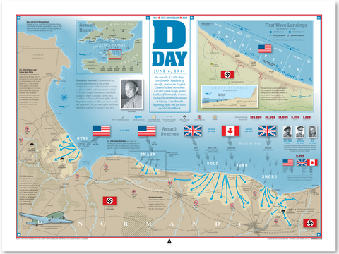
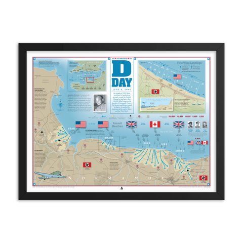
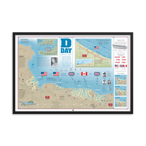
This detailed infographic shows the D-Day-invasion's landing beaches; French cities, towns and rivers; and locations of opposing forces. The map shows where the Allied Forces advanced during the first 24 hours. An inset shows additional details about Omaha Beach. Sidebar details losses and shows additional maps of Allied Forces' advancement. Our prints are museum-quality vivid prints on thick and durable matte paper.